Questo sito usa cookie di analytics per raccogliere dati in forma aggregata e cookie di terze parti per migliorare l'esperienza utente.
Leggi l'Informativa Cookie Policy completa.

Stampe

LAURIE & WHITTLE

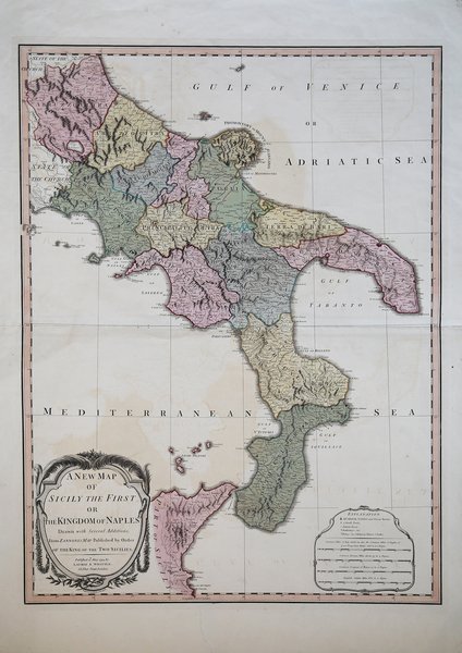
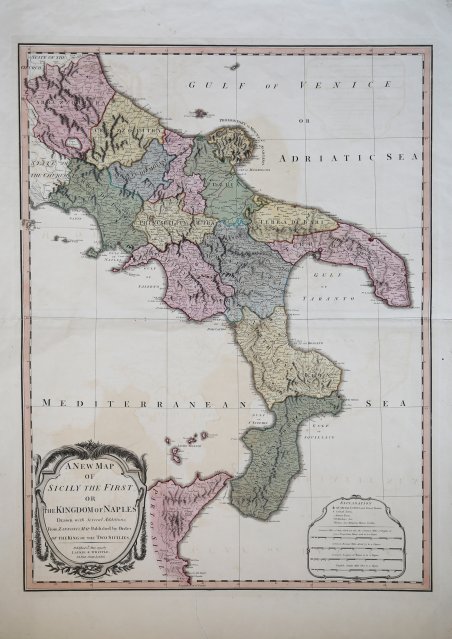
A New Map of Sicily the First or the Kingdom of Naples…

1794

300,00 €

Antiquarius Libreria

(Roma, Italia)

Parla con il Libraio

Metodi di Pagamento

Dettagli

Anno di pubblicazione
1794
Luogo di stampa
Londra
Formato
510 X 680
Incisori
LAURIE & WHITTLE

Descrizione

Carta geografica del Regno di Napoli pubblicata a Londra dalla tipografia Laurie & Whittle nel 1794.Questa mappa proviene dal "A General Atlas", una raccolta cartografica iniziata da Thomas Kitchin e concepita da Thomas Jefferys negli anni sessanta del Settecento. Dopo il fallimento di Jefferys nel 1766, l'atlante fu completato per la prima volta da Robert Sayer nel 1773. Dal 1794, l'atlante fu pubblicato dai suoi successori Laurie & Whittle. Le edizioni successive contengono una varietà di autori come d'Anville, Roberts, Dunn, Rocque, Delarochette, Rennell, Zannoni, Dury, Cook, Vancouver, Perouse e altri.L'atlante è stato successivamente ampliato e sostituito dal "A New Universal Atlas" di Laurie & Whittle.Incisione in rame, bella coloritura coeva, in ottimo stato di conservazione. Engraved map of the south of Italy (then the Kingdom of Naples) starting at Abruzzoultra in the north.The map differentiates the political subdivisions of the Kingdom of Naples with fine outline hand-color.The Kingdom of Naples was a major political entity in the southern Italian peninsula from 1282 until 1808. In 1816 it was joined with Sicily to form the Kingdom of the Two Sicilies, and in 1861 it was annexed to form the Kingdom of Italy.This map comes from Thomas Kitchin's A General Atlas. This atlas was conceived of by Thomas Jefferys in the 1760s. Following Jefferys' bankruptcy in 1766, the atlas was first completed by Robert Sayer in 1773. This was Robert Sayer's first terrestrial atlas. From 1794, the atlas was published by his successors Laurie & Whittle. Later editions tend to be more desirable. Thomas Kitchin's name appears on title pages even after his death in 1784. The maps are after a variety of makers such as d'Anville, Roberts, Dunn, Rocque, Delarochette, Rennell, Zannoni, Dury, Cook, Vancouver, Perouse and others.This map is from the 1797 edition of the atlas. This atlas was later expanded and replaced by Laurie & Whittle's A New Universal Atlas. Cfr.
Logo Maremagnum it