Decorative Printed Maps of the 15th to 18th Centuries. A revised Edition of 'Old Decorative Maps and Charts' by A.L. Humphreys. With eighty-four Reproductions and a new Text. BRIGHT, CLEAN COPY
Decorative Printed Maps of the 15th to 18th Centuries. A revised Edition of 'Old Decorative Maps and Charts' by A.L. Humphreys. With eighty-four Reproductions and a new Text. BRIGHT, CLEAN COPY | Libri antichi e moderni | Skelton R.A.
Libri antichi e moderni
Skelton R.A.
Staples Press,,
1952
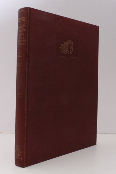
Decorative Printed Maps of the 15th to 18th Centuries. A revised Edition of 'Old Decorative Maps and Charts' by A.L. Humphreys. With eighty-four Reproductions and a new Text. BRIGHT, CLEAN COPY
Decorative Printed Maps of the 15th to 18th Centuries. A revised Edition of 'Old Decorative Maps and Charts' by A.L. Humphreys. With eighty-four Reproductions and a new Text. BRIGHT, CLEAN COPY | Libri antichi e moderni | Skelton R.A.
Libri antichi e moderni
Skelton R.A.
Staples Press,,
1952
65,00 €
(Devon,
Regno Unito)
Metodi di Pagamento
- PayPal
- Carta di Credito
- Bonifico Bancario
- Pubblica amministrazione
- Carta del Docente
Dettagli
- Anno di pubblicazione
- 1952
- Autore
- Skelton R.A.
- Editori
- Staples Press,
- Soggetto
- bibliography, cartography, skelton, decorative printed maps
- Lingue
- Inglese
Descrizione
Roy. 4to., First Edition, with 12 coloured plates and 72 monochrome plates; burgundy cloth, upper board blocked in gilt, gilt back, a very good, bright, clean copy. The first form of this work, by Humphreys, appeared in 1926 designed as a picture book to illustrate the wealth of a notable collection. Skelton's classic reworking serves both as a specimen book and a guide to the study of maps printed from wood blocks or copper-plates from the birth of mapmaking to the eve of scientific cartography. The majority of plates in the original work have been retained and twenty-two new illustrations added, together with a bibliography.