The Eastern Alps. including the Bavarian Highlands, Tyrol, Salzburg, Upper and Lower Austria, Styria, Carinthia and Carniola. Handbook for Travellers. With 78 Maps, 16 Plans and 11 Panoramas. Twelfth Edition. BRIGHT, CLEAN COPY OF THE TWELFTH EDITION
Libri antichi e moderni
Baedeker Karl
Karl Baedeker,
1911
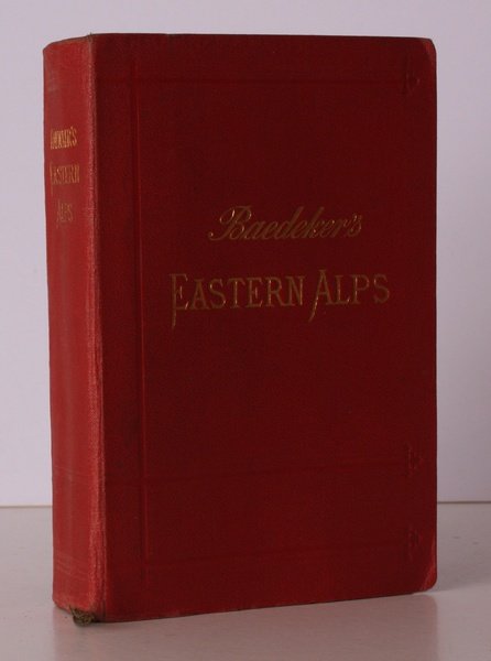
43,70 €
(Devon,
Regno Unito)
Metodi di Pagamento
- PayPal
- Carta di Credito
- Bonifico Bancario
- Pubblica amministrazione
- Carta del Docente
Dettagli
- Anno di pubblicazione
- 1911
- Autore
- Baedeker Karl
- Editori
- Karl Baedeker
- Soggetto
- baedeker, karl baedeker, eastern alps, italy, switzerland, austria, alps, bavaria, tryol, styria, carinthia, carniola
- Lingue
- Inglese
Descrizione
Sm. 8vo., Twelfth Edition, with folding coloured map as frontispiece, coloured maps and plans ( a number double-page or folding), folding panoramas and rear endpaper maps, a few maps poorly folded; original series binding of grained red cloth, upper board framed in blind and lettered in gilt, gilt back, radial corners, marbled edges, primrose endpapers, silk marker, a bright, clean copy. With series catalogue on front endpapers. The folding maps and plans are on japon. Hinrichsen E53.