Questo sito usa cookie di analytics per raccogliere dati in forma aggregata e cookie di terze parti per migliorare l'esperienza utente.
Leggi l'Informativa Cookie Policy completa.

Libri antichi e moderni

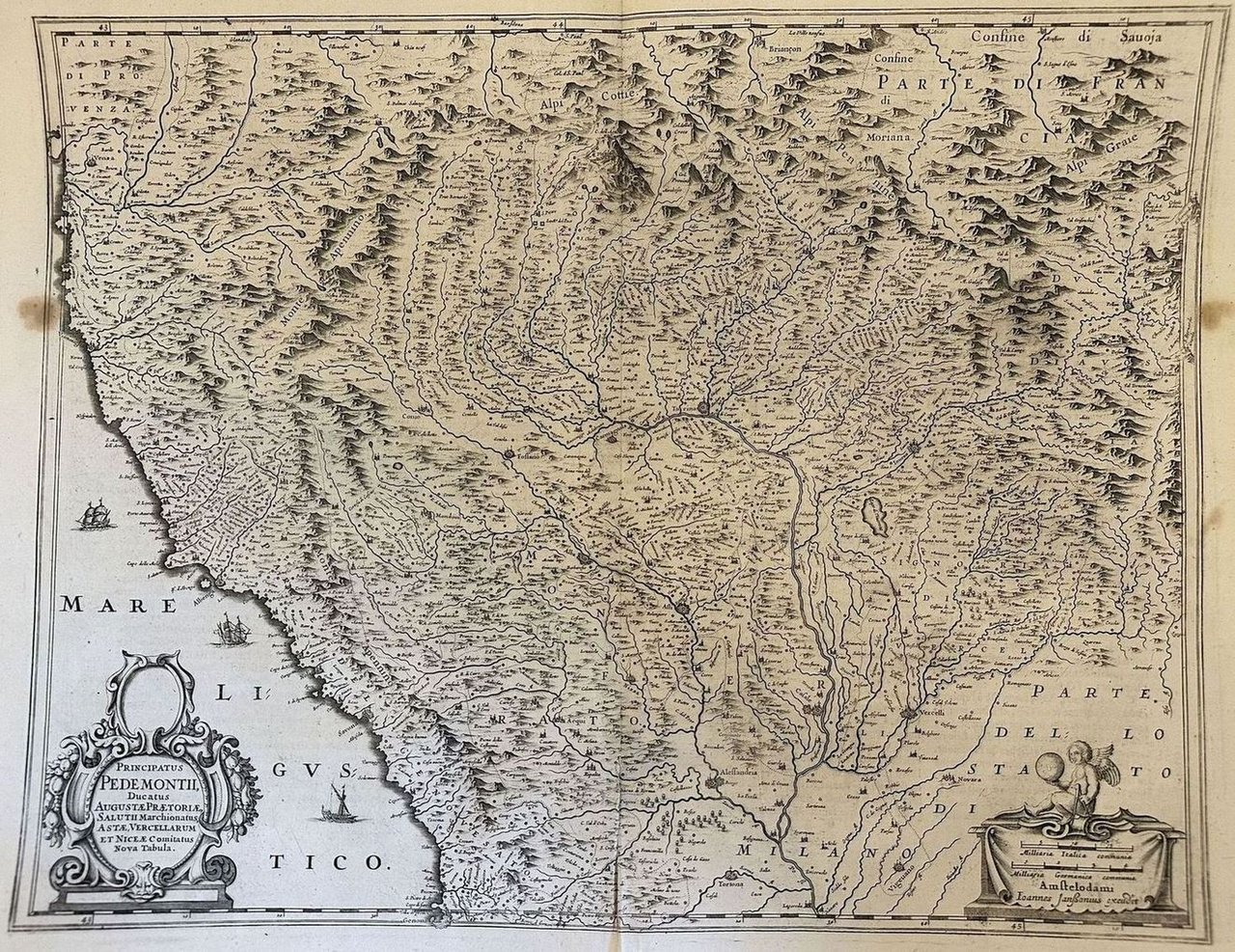
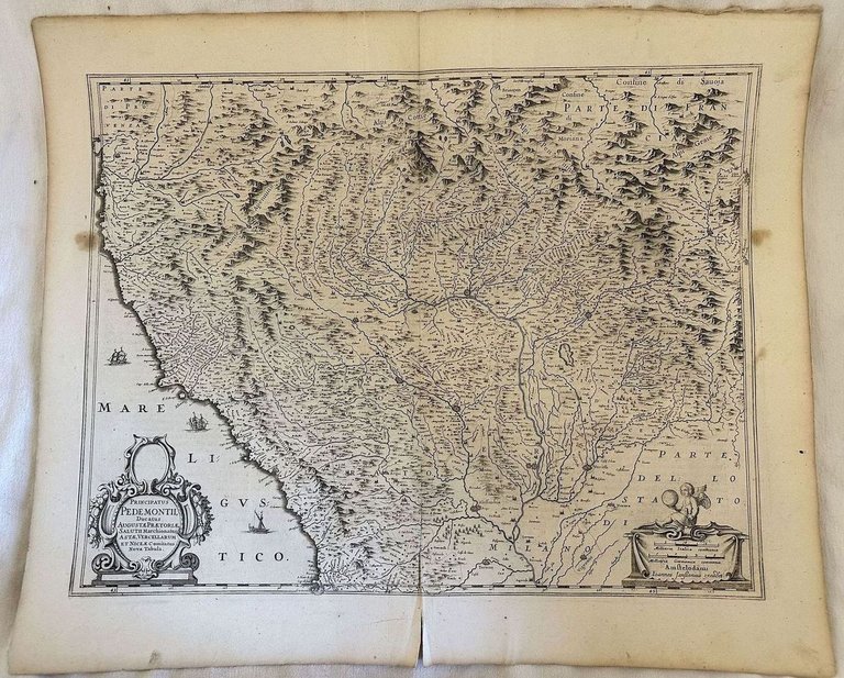
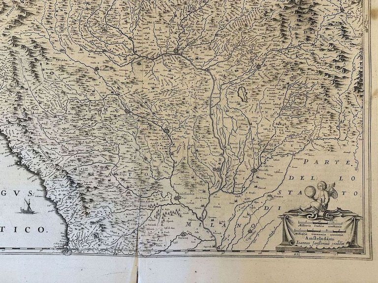
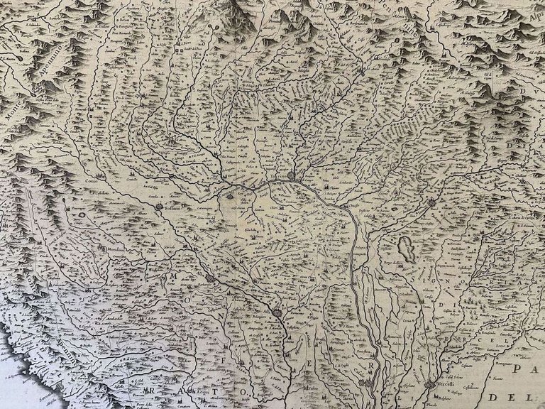
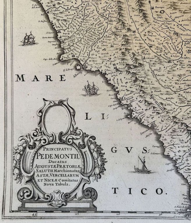
PRINCIPATUS PEDEMONTII DUCATUS AUGUSTAE PRAETORIAE SALUTII MARCHIONATUS ASTAE, VERCELLARUM ET NICAE COMITATUS

IOANNES JANSSONIUS EXCUDIT, 1647

700,00 €

Sephora Libreria

(Foligno, Italia)

Parla con il Libraio

Metodi di Pagamento

Dettagli

Anno di pubblicazione
1647
Luogo di stampa
AMSTELODAMI
Editori
IOANNES JANSSONIUS EXCUDIT

Descrizione

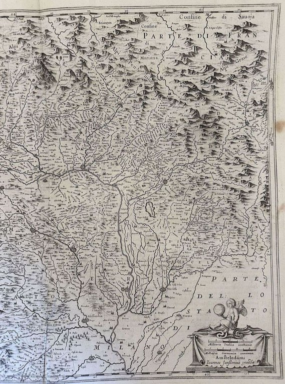
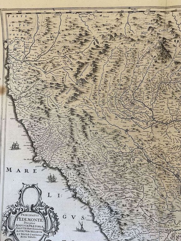
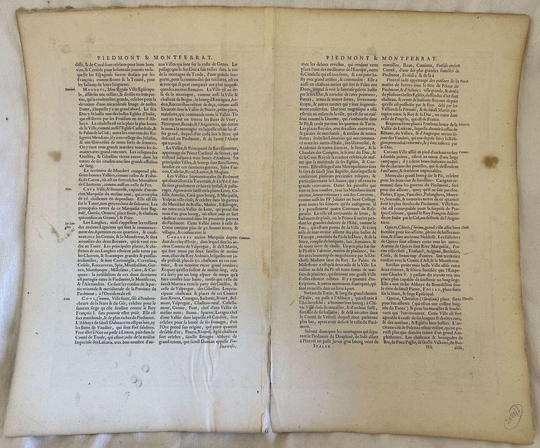
Mappa del 1647 che rappresenta il Principato di Piemonte con i ducati di Aosta, Asti, Vercelli e Nizza. Mappa impressa ad Amsterdam nel 1647 dal cartografo Johannes Jansonius e inserita nell'opera "Atlas Novus Sive Theatrum Orbis Terrarum". Cartiglio nell'angolo in basso a sinistra e Putto che sorregge un globo e compasso in basso a destra. Mappa orientata a ovest tra Nizza e Genova, a Nord-ovest Aosta e al centro Torino. Testo in francese al verso In discrete condizioni. Autore: Jan Jansson Atlante. Atlas novus sive Theatrum Orbis Terrarum Data: 1647 Tecnica: Acquaforte su rame Dimensione del foglio: 610x510 mm Dimensione incisione: 530x415 mm Condizioni: Discrete condizioni. Fioriture.Usure e piccoli strappi marginali. Strappo verticale di cm 12,5 al margine di piegatura inferiore. Jan Jansson, celebre cartografo, appartenente ad una lunga stirpe di stampatori attivi a partire dal XVII secolo. Si stabilirono prima ad Arnhem poi ad Amsterdam. Furono stampatori di mappe, di libri e librai.Map of 1647 representing the Principato di Piemonte with the Ducates of Aosta, Asti, Vercelli and Nizza. Map published in Amsterdam in 1647 by the cartographer Johannes Jansonius and published in the work "Atlas Novus Sive Theatrum Orbis Terrarum". Cartouche in the left lower corner and Angel taking a globe in the lower right corner. West-oriented map between Nice and Genoa, in the northwest Aosta, in the center Turin. French text in the verso In fair conditions. Author: Jan Jansson Atlas. Atlas novus sive Theatrum Orbis Terrarum Date: 1647 Technique: Copper etching Size of the page: 610x510 mm Size of the engraving: 530x415 mm Conditions: Fair conditions. Foxing.Wearing and little tears in the edges. Vertical tear of cm 12,5 in the folding edge Jan Jansson was part of an influential family of map publishers from the Netherland throughout the 17th century and beyond. They were based in Arnhem than in Amsterdam. They were printers, publishers and booksellers.
Logo Maremagnum it