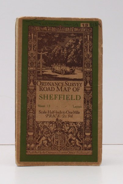
Ordnance Survey Road Map of Sheffield. Sheet 13. Layers. Half-Inch to One Mile. [Ellis Martin cover].
Libri antichi e moderni
Ordnance Survey
Ordnance Survey, [Southampton,
1939
Ordnance Survey Road Map of Sheffield. Sheet 13. Layers. Half-Inch to One Mile. [Ellis Martin cover].
Libri antichi e moderni
Ordnance Survey
Ordnance Survey, [Southampton,
1939
13,80 €
(Devon,
Regno Unito)
Metodi di Pagamento
- PayPal
- Carta di Credito
- Bonifico Bancario
- Pubblica amministrazione
- Carta del Docente
Dettagli
- Anno di pubblicazione
- 1939
- Autore
- Ordnance Survey
- Editori
- Ordnance Survey, [Southampton
- Soggetto
- topography, yorkshire, yorks, sheffield, os, ordnance survey, maps, ordnance survey, topography, maps, ordnance, survey, road, map, sheffield
- Lingue
- Inglese
Descrizione
Folding coloured map on cloth measuring 22 x 30 ins (approx. 55.5 x 76.0 cms) folding in 21 panels to 7.5 x 4.25 ins (approx. 19.0 x 11.0 cms); original pictorial card wrappers, neat contemporary signature on front wrapper, wrappers lightly age-soiled else a very good, bright, clean copy. With the trade ticket of Moyse of Sheffield on rear wrapper. The Half Inch series was first published in 1919 with striking 'motorist' artwork by Ellis Martin. The present copy is the 1939 revision; the covers are the green and brown variant with green sheet name. Browne, 12.2.a