(Michigan) County Maps, Region II (Two), Northern Lower Peninsula,
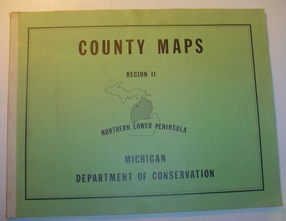
(Michigan) County Maps, Region II (Two), Northern Lower Peninsula,
Metodi di Pagamento
- PayPal
- Carta di Credito
- Bonifico Bancario
- Pubblica amministrazione
- Carta del Docente
Dettagli
- Anno di pubblicazione
- 1964
- Luogo di stampa
- Michigan
- Autore
- Author Not Stated
- Editori
- Michigan Department of Conservation
- Formato
- Folio - over 12" - 15" tall
- Edizione
- F First Edition
- Soggetto
- (Michigan) County Maps, Region II (Two), Northern Lower Peninsula, geographical features of the northern lower peninsula. Also, it includes all types of roads, federal and state-owned lands, state and local parks, camp grounds, fishing sites, and other public recreational facilities." - from title page., Includes the following counties: Emmet, Cheboygan, Presque Isle, Charlevoix, Antrim, Otsego, Montmorency, Alpena, Leelanau, Benzie, Grand Traverse, Kalkaska, Crawford, Oscoda, Alcona, Manistec, Wexford, Missaukee, Roscommon, Ogemaw, Iosco, Mason, Lake, Osceola, Clare, Gladwin, Arenac, Oceana, Newaygo, Muskegon, Mecosta, Isabella, Midland, Bay Maps
- Descrizione
- S Paperback
- Stato di conservazione
- Buono
- Lingue
- Inglese
- Legatura
- Brossura
- Prima edizione
- True
Descrizione
35 pages including 34 maps. Oblong 14" x 18". "This collection of county maps presents in detail basic geographical features of the northern lower peninsula. Also, it includes all types of roads, federal and state-owned lands, state and local parks, camp grounds, fishing sites, and other public recreational facilities." - from title page. Includes the following counties: Emmet, Cheboygan, Presque Isle, Charlevoix, Antrim, Otsego, Montmorency, Alpena, Leelanau, Benzie, Grand Traverse, Kalkaska, Crawford, Oscoda, Alcona, Manistec, Wexford, Missaukee, Roscommon, Ogemaw, Iosco, Mason, Lake, Osceola, Clare, Gladwin, Arenac, Oceana, Newaygo, Muskegon, Mecosta, Isabella, Midland, Bay. Average wear. Unmarked. Maps clean and bright. A sound copy. Book