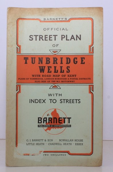
Barnett's Official Street Plan of Tunbridge Wells. With Road Map of Kent, Plans of Tonbridge, London Boroughs & Postale Districts. Also Map of the M2 Motorway. BRIGHT, CLEAN COPY
Libri antichi e moderni
Tunbridge Wells.
G.I. Barnett, Chadwell Heath,
1960
Barnett's Official Street Plan of Tunbridge Wells. With Road Map of Kent, Plans of Tonbridge, London Boroughs & Postale Districts. Also Map of the M2 Motorway. BRIGHT, CLEAN COPY
Libri antichi e moderni
Tunbridge Wells.
G.I. Barnett, Chadwell Heath,
1960
13,80 €
(Devon,
Regno Unito)
Metodi di Pagamento
- PayPal
- Carta di Credito
- Bonifico Bancario
- Pubblica amministrazione
- Carta del Docente
Dettagli
- Anno di pubblicazione
- 1960
- Autore
- Tunbridge Wells.
- Editori
- G.I. Barnett, Chadwell Heath
- Soggetto
- topography, kent, tunbridge wells, tonbridge, maps, street plans
- Lingue
- Inglese
Descrizione
Folding street plan in red and black on paper, measuring 25.0 x 20.0 ins (approx. 63.5 x 51.0 cms) folding in 16 panels to 9.0 x 5.5 ins (approx. 23.0 x 14.0 cms); original printed wrappers in orange and black, yapped edges, covers very lightly age-soiled else a very good, bright, clean copy. With numerous trade advertisements.